Home / Blog / Travel tips

F1 weekend road closures: plan your way around Marina Bay with PantauSivik

By ZN Labs2 min read
Singapore night skyline in neon colours with a race car on a street circuit

F1 weekend is here, and the roads around Marina Bay look very different for a few days. Whether you drive, ride the bus or just need to pass through the area, a little planning goes a long way. Here is how to use PantauSivik to find your way.

Illustration of the Singapore skyline at night with an observation wheel and an MRT train on a bridge
Plan ahead and the city is easy to get around, even on race weekend.

What is changing

According to the Land Transport Authority, roads around the Marina Centre and Padang area are closed from 12.01am on 7 October until 5.30am on 13 October 2026. Some roads open briefly at set times, one access lane serves Marina Centre at limited hours, and the car parks at Suntec City, Millenia Walk and Marina Square stay open. Details change from day to day, so check the latest notices before you set off.

Four ways to plan around it

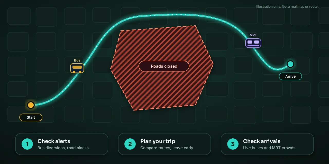
Illustration of a detour route around a closed area, with three steps: check alerts, plan your trip, check arrivals
Check alerts, plan your trip, then check arrivals right before you leave.

Before you leave

PantauSivik is an independent app and is not affiliated with Formula 1 or any government agency. Routes and times are estimates, so follow road signs and the directions of officers on the ground.
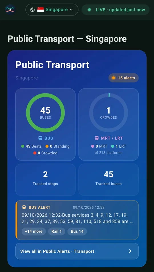
Get PantauSivik for Android

Free on Google Play. No account needed.

Get it on Google Play

More from the blog

Redesigned Transit card with bus and MRT crowd rings and an alert pill
App update

A fresh Transit card, air quality alerts and a calmer app: what's new in PantauSivik 1.25.29

PantauSivik 1.25.29 redesigns the Transit card, adds air quality and UV alerts, clears up Public Alerts and fixes Singapore time and offline moments.

Read article
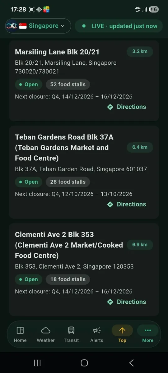
Phone showing a Directions button on a hawker centre listing in PantauSivik
App update

Planning a trip from a hawker centre or EV charger just got easier: what's new in PantauSivik 1.25.0

PantauSivik 1.25.0 adds a Directions button to hawker centres, EV charging, carparks and bicycle parking, plus a smarter active trip, a walking fallback for short trips, a bus stop search fix and a bottom menu that fits your commuter type.

Read article
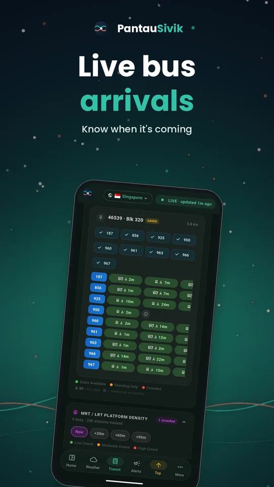
Phone showing live bus arrival times beside a trip fare estimate
Transit news

Fare review 2026: what changes on 26 December and how PantauSivik will update your trip estimates

Bus and train fares rise 7.0% from 26 December 2026. See what changes for adult and concession riders, how to estimate your own trips, and how PantauSivik's Trip Planner will update.

Read article
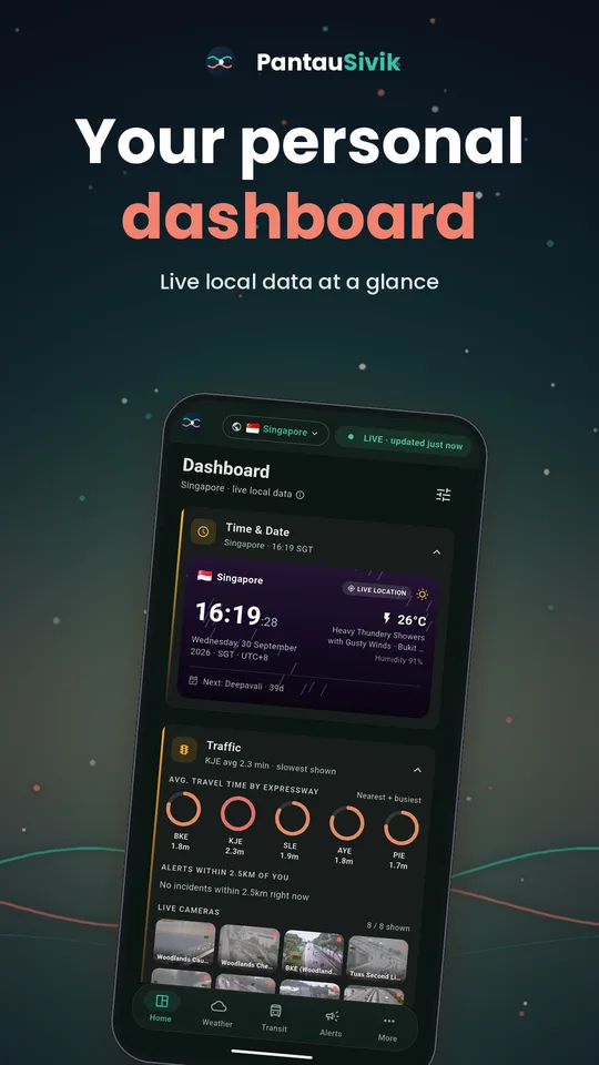
PantauSivik dashboard on a phone showing live Singapore transit, weather and alerts cards
Announcement

Introducing PantauSivik: your city's live public data in one app

PantauSivik puts live bus arrivals, MRT and LRT crowds, traffic, weather, air quality and public alerts for Singapore and Malaysia into one free Android app.

Read article
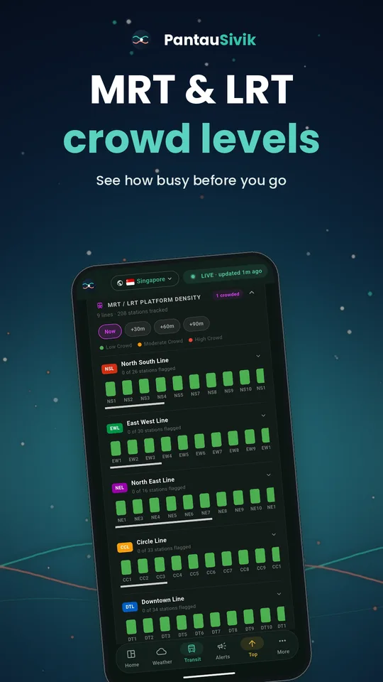
Phone screen with MRT and LRT platform crowd levels shown line by line
How to

How to check MRT and LRT platform crowds before you leave

A packed platform can cost you time and patience. Here is how to read PantauSivik's MRT and LRT crowd view and plan around it.

Read article
Guide

Recycling made easier: find bins, BCRS return points and drop-off locations

Knowing where to recycle is half the effort. See how PantauSivik helps you find recycling bins, BCRS return points, and e-waste and textile drop points.

Read article