Home / Blog / Getting Around
Map layers in PantauSivik: 15 layers, 5 at a time
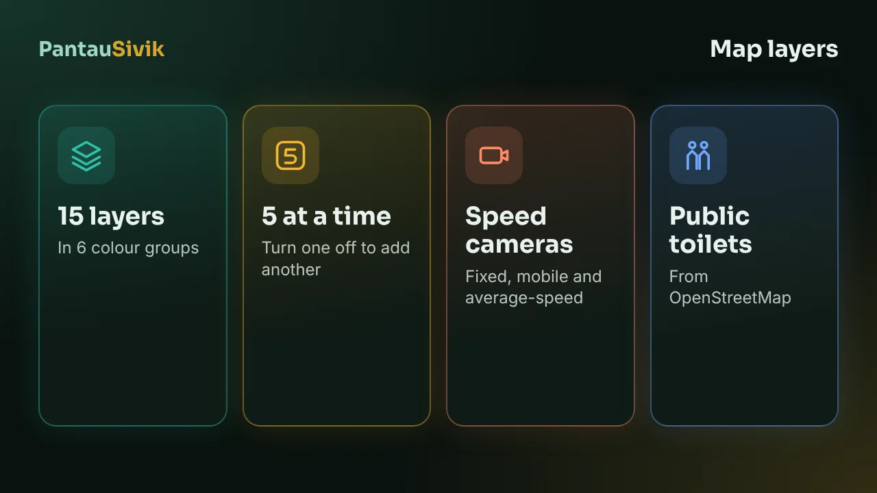
The PantauSivik map is now full screen, with 15 layers you can turn on. You can show up to 5 at once. That limit is on purpose: 15 layers at the same time would cover the map.
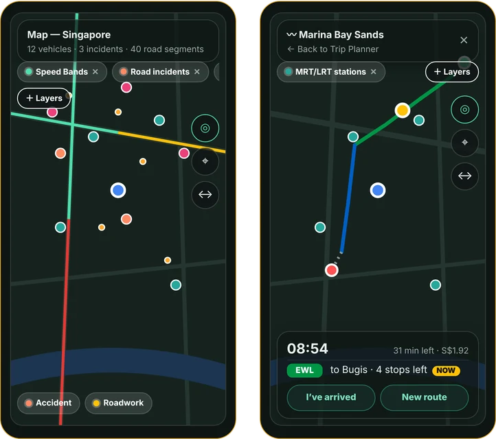
The 15 layers, in 6 groups
Tap the Layers button to open the list. The layers are grouped so you can find them quickly, and you tap Done when you have chosen. They cover traffic and road incidents, weather and air, transport, and places such as public toilets. Speed cameras are one of them.
Two layers worth knowing
- Speed cameras. The locations come from the Singapore Police Force list. The list is bundled in the app and refreshed about every 3 months, so a newly installed camera can take a while to show. The last refresh was on 13 November.
- Public toilets. Taken from OpenStreetMap, which is edited by volunteers. Use Nearest to find the closest one.
Why some layers disappear when you zoom out
Dense layers, such as cameras and toilets, hide below zoom level 15. Zoom in and they come back. Layers that cover the whole island, such as weather, stay visible.
Other map controls
- Center on me brings the map back to your location.
- Live tracking follows you as you move.
- Tap a pin to see its detail.
For the full walkthrough, see the Map layers guide.
Common questions
How many map layers are there in PantauSivik?
15, in 6 groups. You can turn on up to 5 at a time.
Why can I only turn on 5 layers?
So the map stays readable. Turn one off to add another.
Why do speed cameras and toilets disappear when I zoom out?
Dense layers hide below zoom level 15. Zoom in to see them.
How often is the speed camera list updated?
About every 3 months. The last refresh was on 13 November.
Where do the public toilet locations come from?
OpenStreetMap, which is edited by volunteers, so a toilet can be missing or out of date.
Sources: PantauSivik app, version 1.84.2. Speed camera locations from the Singapore Police Force list. Public toilets from OpenStreetMap contributors. The screen above is a design preview and can differ from the app. PantauSivik is independent and not affiliated with any government agency.
Information in PantauSivik comes from public sources and is there to help you plan. In an emergency, follow official channels. PantauSivik is independent and not affiliated with any government agency.
See also: Map layers guide, PantauSivik 1.84 release notes.