How to check expressway travel times and traffic cameras before you drive
Short answer: open Traffic, check the travel time gauges for your expressway, then open a traffic camera to see the road with your own eyes. Green is smooth, amber is slower and red is heavy.
What you will see
- An Expressway and Roads switch at the top, so you can look at highways or at other roads.
- Travel time gauges for each major expressway. They share one scale, so you can compare them at a glance.
- Road segments coloured green, amber or red by how long they take.
- Incidents such as accidents and road works.
- Live traffic camera photos you can open full size.
How to use it
- Open Traffic and choose Expressway for highways or Roads for other roads.
- Find your expressway and read the gauge. Red or amber tells you to leave earlier or choose another way.
- Check the segments to see where the slowdown is, not just that there is one.
- Open a camera near the trouble spot. Pinch to zoom, and drag to move around the picture.
- On the Roads side, pick a road type chip, or search for a road by name.
- Still unsure? Plan the trip in Trip Planner to compare drive with MRT and bus.
Tips
- Camera images are snapshots, not video. Look at the time on the picture before you rely on it.
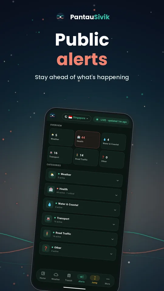
- On big event days, also open Public Alerts. Road blocks appear under Other.
- Cameras also appear on the map, so you can tap one near your route.
Good to know
Traffic data comes from the Land Transport Authority. Cameras and speed bands refresh regularly but are never perfectly live. Follow road signs and officer instructions over anything shown in an app. Traffic is available for Singapore.
Information comes from public sources and is there to help you plan. PantauSivik is independent and not affiliated with any government agency. Screens and wording can change a little between app versions.
Frequently asked questions
Are the traffic cameras live video?
No. They are photos that refresh regularly, so check the time on each picture.
What do the travel time colours mean?
Green is moving smoothly, amber is slower than usual and red means heavy traffic.
Can I see accidents and road works?
Yes. Incidents are listed in Traffic, and also appear in Public Alerts under Road Traffic.
Can I zoom into a camera image?
Yes. Open the image and pinch to zoom, then drag to move around.