Home / App Guide / Trip Planner
How to plan a trip in Singapore with walk, MRT, bus, taxi or drive
Short answer: open Trip Planner, enter where you are going, choose how you want to travel and read the steps. Drive trips add a fuel cost estimate and turn by turn directions. Tap Plot on map to follow the route.
What you can plan
- Walk for short distances.
- MRT, LRT and bus with the walking legs at each end.
- Taxi for a quick estimate.
- Drive with a fuel cost estimate and turn by turn directions.
How to use it
- Open Trip Planner.
- Set where you are going. Your current location is the usual start.
- Choose your travel mode, or compare a few.
- Read the steps. A walking step to a bus stop is labelled so you know where to get on.
- Tap Plot on map to see the route drawn on the map.
- Start the trip from the dashboard card when you set off. Starting and arriving are manual taps, because the app does not track you in the background.
Directions from anywhere
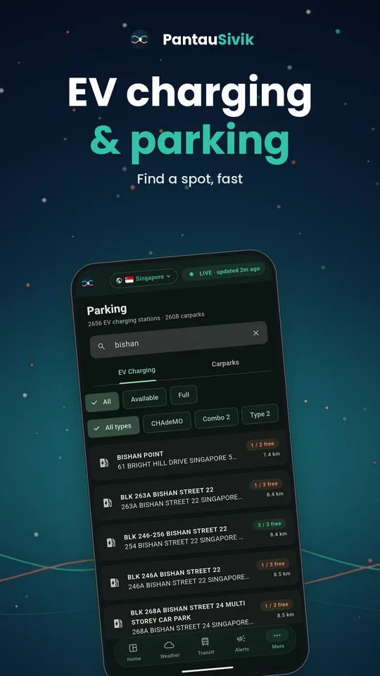
Many lists have a Directions button: hawker centres, EV charging stations, carparks, bicycle parking, recycling points and sport facilities. It fills in the destination for you. It starts in a sensible mode: walking for places under about 2 km, public transport for farther ones, and drive for parking and EV charging.
Tips
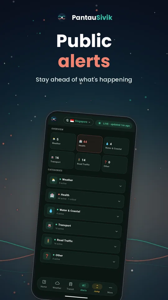
- On busy days, check Public Alerts first so you know about diversions before you plan.
- Compare drive with MRT and bus. Parking and traffic can erase the time you save.
- Estimates are a guide. Fares and times can differ from what you actually pay or travel.
Good to know
Routes and times are estimates. Follow road signs and real world conditions. Trip Planner is available for Singapore.
Information comes from public sources and is there to help you plan. PantauSivik is independent and not affiliated with any government agency. Screens and wording can change a little between app versions.
Frequently asked questions
Can Trip Planner estimate fuel cost?
Yes. Drive trips include a fuel cost estimate and turn by turn directions.
Does it work for public transport?
Yes. It plans walking, MRT, LRT and bus legs together.
Can I see the route on a map?
Yes. Tap Plot on map to draw the route on the map page.
Does it track me during a trip?
No. Starting and finishing a trip are manual taps. The app does not run location in the background.